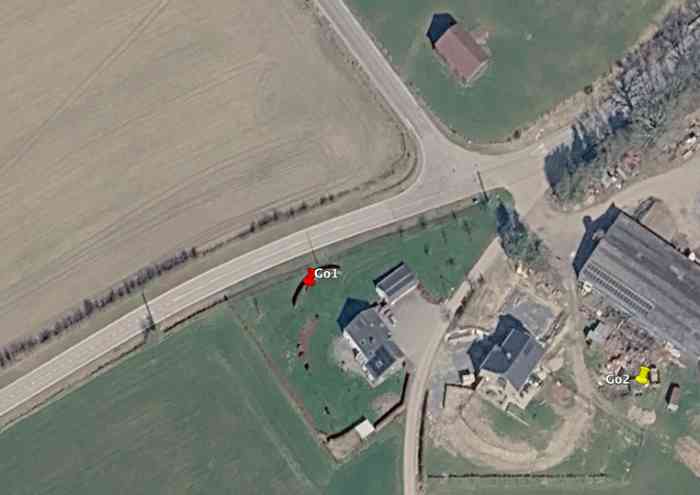
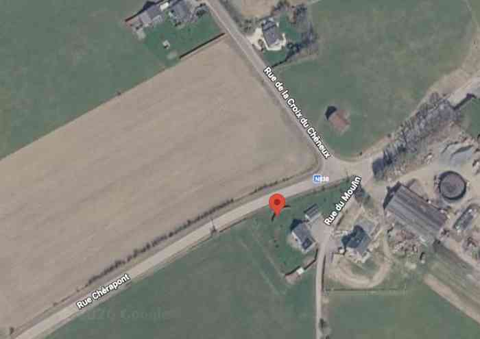
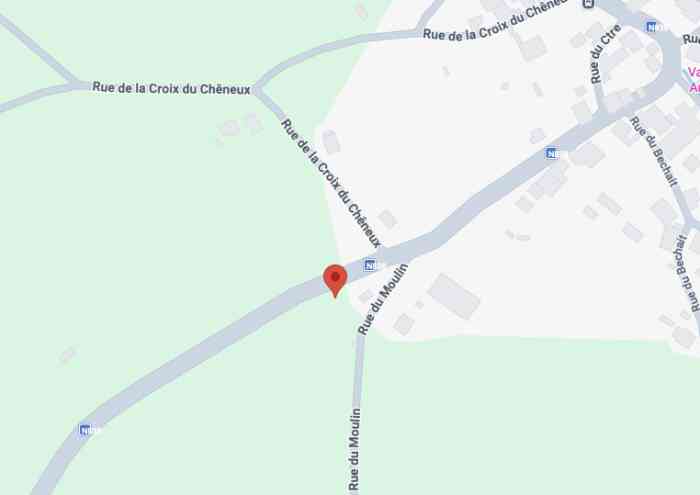
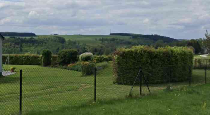
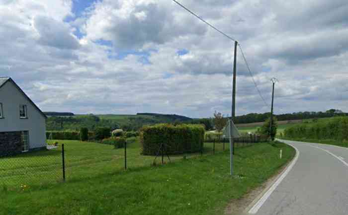
Limerlé. Fortifications belges de la deuxième guerre mondiale, première ligne de résistance, direction des travaux de fortification Liège/Luxembourg (DTF), position avancée de Gouvy, abri Go1 de type PA modèle ?, 455 m/alt, était situé Route Nationale 838 Rue Chérapont numéro 3, à 350 m ouest-sud-ouest du centre de Gouvy et à 95 m ouest-nord-ouest de l’abri Go2. Il n’est plus visible mais il se pourrait qu’il ait simplement été enterré ce qui expliquerait la présence d’une butte juste derrière la haie à l’endroit qu’il était sensé occuper. Belgische Befestigungen des Zweiten Weltkriegs, erste Widerstandslinie, Direktion der Befestigungsarbeiten Lüttich/Luxemburg (DTF), vorgeschobene Stellung von Gouvy, Unterstand Go1 vom Typ PA Modell ?, 455 M/ü M, befand sich an der Nationalstraße 838 Rue Chérapont Nummer 3, 350 m westsüdwestlich des Zentrums von Gouvy und 95 m westnordwestlich des Unterstandes Go2. Er ist nicht mehr sichtbar, aber es könnte sein, dass er einfach zugeschüttet wurde, was das Vorhandensein eines Hügels direkt hinter der Hecke an der Stelle erklären würde, die er einnehmen sollte. Belgische versterkingen uit de Tweede Wereldoorlog, eerste weerstandslijn, directie van de vestingswerken Luik/Luxemburg (DTF), vooruitgeschoven stelling van Gouvy, schuilkelder Go1 van type PA model ?, 455 m/TAW, bevond zich aan de Nationale Weg 838 Rue Chérapont nummer 3, 350 m westzuidwesten van het centrum van Gouvy en 95 m westnoordwesten van de schuilkelder Go2. Hij is niet meer zichtbaar, maar het zou kunnen dat hij gewoon werd vergraven, wat de aanwezigheid van een heuvel net achter de haag op de plaats die hij zou moeten innemen, zou verklaren. Belgian fortifications of the Second World War, first line of resistance, Fortification Works Directorate Liège/Luxembourg (DTF), advanced position of Gouvy, shelter Go1 of type PA model ?, 455 m/asl, was located on National Route 838 Rue Chérapont number 3, 350 m west-southwest of the centre of Gouvy and 95 m west-northwest of shelter Go2. It is no longer visible, but it could be that it was simply buried, which would explain the presence of a mound just behind the hedge at the location it was supposed to occupy. Belgické opevnění z druhé světové války, první linie odporu, ředitelství opevňovacích prací Lutych/Lucembursko (DTF), předsunuté postavení Gouvy, bunkr Go1 typu PA model ?, 455 m/n. m, nacházel se na Národní silnici 838 Rue Chérapont číslo 3, 350 m západo-jihozápadně od centra Gouvy a 95 m západo-severozápadně od bunkru Go2. Již není viditelný, ale je možné, že byl jednoduše zasypán, což by vysvětlovalo přítomnost mohyly hned za živým plotem na místě, které měl zaujímat. JPu 29/06/2026
Cité dans : Zitiert in : Geciteerd in: Cited in: Citováno v: Go2 (abri CR Gouvy)