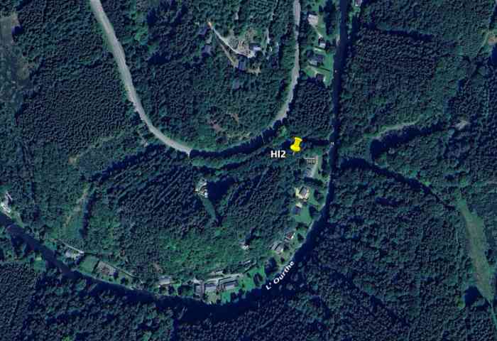
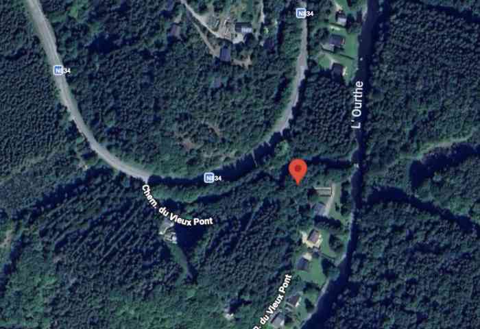
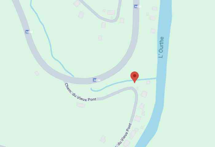
Herlinval. Fortifications belges de la deuxième guerre mondiale, première ligne de résistance, direction des travaux de fortification Liège/Luxembourg (DTF), position avancée de Herlinval, abri Hl2 de type PA modèle B, 304 m/alt, situé dans une forêt mixte de feuillus et de pins à mi‑chemin entre la Route Nationale 834 Rue Ferme‑au‑Pont et l’Ourthe occidentale, sur la rive droite du Ruisseau de Floumont, à 1 000 m au sud de la localité d’Herlinval, à 1 000 m à l’est de l’abri Hl1 et à 1 130 m au sud‑ouest de l’abri Hl3. Belgische Befestigungen des Zweiten Weltkriegs, erste Widerstandslinie, Direktion der Befestigungsarbeiten Lüttich/Luxemburg (DTF), vorgeschobene Stellung von Herlinval, Unterstand Hl2 vom Typ PA Modell B, 304 M/ü M, gelegen in einem Mischwald aus Laub‑ und Nadelbäumen auf halbem Weg zwischen der Nationalstraße 834 Rue Ferme‑au‑Pont und der westlichen Ourthe, am rechten Ufer des Baches Floumont, 1 000 m südlich der Ortschaft Herlinval, 1 000 m östlich des Unterstandes Hl1 und 1 130 m südwestlich des Unterstandes Hl3. Belgische versterkingen uit de Tweede Wereldoorlog, eerste weerstandslijn, directie van de vestingswerken Luik/Luxemburg (DTF), vooruitgeschoven stelling van Herlinval, schuilkelder Hl2 van type PA model B, 304 m/TAW, gelegen in een gemengd bos van loof‑ en naaldbomen halverwege tussen de Nationale Weg 834 Rue Ferme‑au‑Pont en de westelijke Ourthe, op de rechteroever van de beek Floumont, 1 000 m ten zuiden van de plaats Herlinval, 1 000 m ten oosten van de schuilkelder Hl1 en 1 130 m ten zuidwesten van de schuilkelder Hl3. Belgian fortifications of the Second World War, first line of resistance, Fortification Works Directorate Liège/Luxembourg (DTF), advanced position of Herlinval, shelter Hl2 of type PA model B, 304 m/asl, located in a mixed forest of deciduous and pine trees halfway between National Route 834 Rue Ferme‑au‑Pont and the western Ourthe, on the right bank of the Floumont stream, 1,000 m south of the locality of Herlinval, 1,000 m east of shelter Hl1 and 1,130 m south‑west of shelter Hl3. Belgické opevnění z druhé světové války, první linie odporu, ředitelství opevňovacích prací Lutych/Lucembursko (DTF), předsunuté postavení Herlinval, bunkr Hl2 typu PA model B, 304 m/n. m, nacházející se ve smíšeném lese listnatých a borovicových stromů na půli cesty mezi Národní silnicí 834 Rue Ferme‑au‑Pont a západní Ourthe, na pravém břehu potoka Floumont, 1 000 m jižně od obce Herlinval, 1 000 m východně od bunkru Hl1 a 1 130 m jihozápadně od bunkru Hl3. JPu 06/07/2026
Cité dans : Zitiert in : Geciteerd in: Cited in: Citováno v: Hl1 (abri CR Herlinval), Hl3 (abri CR Herlinval)
