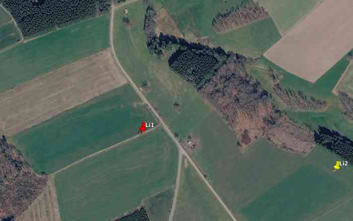
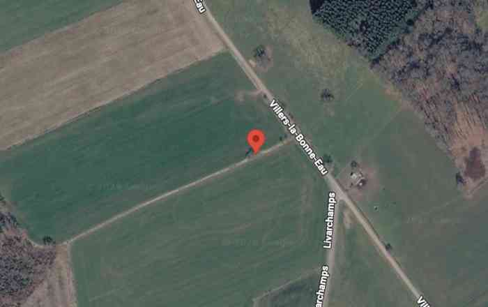
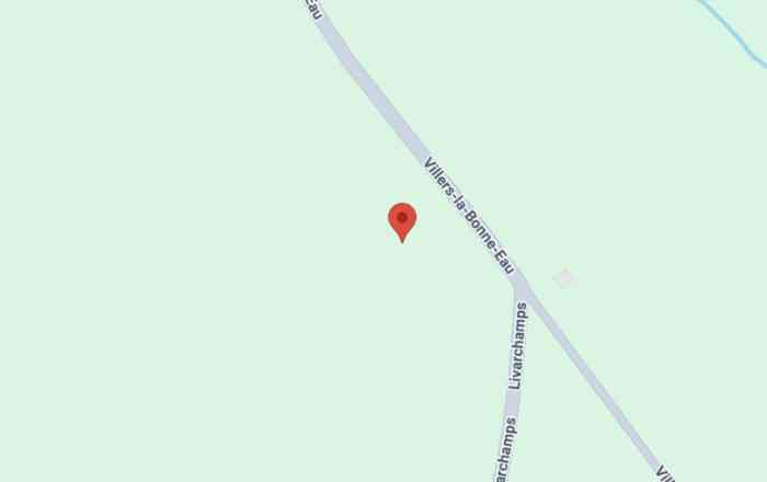
Villers la Bonne Eau. Fortifications belges de la deuxième guerre mondiale, première ligne de résistance, direction des travaux de fortification Liège/Luxembourg (DTF), position avancée de Livarchamps, abri Li1 de type PA modèle ?, 474 m/alt, était situé sous un bouquet d'arbres à 50 m à l'ouest de la Route communale reliant Villers La Bonne Eau à Livarchamps, à 450 m à l'ouest de l'abri Li2, à 975 m au nord-est de Livarchamps, à 940 m au sud-sud-ouest de Villers La Bonne Eau et à 1 380 m de la frontière entre la Belgique et le Grand Duché de Luxembourg. Le bouquet d'arbres est toujours là mais de l'abri il ne reste que quelques blocs de béton épars. Belgische Befestigungen des Zweiten Weltkriegs, erste Widerstandslinie, Direktion der Befestigungsarbeiten Lüttich/Luxemburg (DTF), vorgeschobene Stellung von Livarchamps, Unterstand Li1 vom Typ PA Modell ?, 474 M/ü M, befand sich unter einem Baumhain, 50 m westlich der Gemeindestraße, die Villers La Bonne Eau mit Livarchamps verbindet, 450 m westlich des Unterstandes Li2, 975 m nordöstlich von Livarchamps, 940 m südsüdwestlich von Villers La Bonne Eau und 1 380 m von der Grenze zwischen Belgien und dem Großherzogtum Luxemburg. Der Baumhain ist noch vorhanden, aber von dem Unterstand sind nur noch einige vereinzelte Betonblöcke übrig. Belgische versterkingen uit de Tweede Wereldoorlog, eerste weerstandslijn, directie van de vestingswerken Luik/Luxemburg (DTF), vooruitgeschoven stelling van Livarchamps, schuilkelder Li1 van het type PA model ?, 474 m/TAW, was gelegen onder een boomgroep, 50 m ten westen van de gemeenteweg die Villers La Bonne Eau met Livarchamps verbindt, 450 m ten westen van de schuilkelder Li2, 975 m ten noordoosten van Livarchamps, 940 m ten zuidzuidoosten van Villers La Bonne Eau en 1 380 m van de grens tussen België en het Groothertogdom Luxemburg. De boomgroep is er nog steeds, maar van de schuilkelder resteren slechts enkele verspreide betonblokken. Belgian fortifications of the Second World War, first line of resistance, Fortification Works Directorate Liège/Luxembourg (DTF), advanced position of Livarchamps, shelter Li1 of type PA model ?, 474 m/asl, was located under a clump of trees, 50 m west of the communal road connecting Villers La Bonne Eau to Livarchamps, 450 m west of shelter Li2, 975 m north‑east of Livarchamps, 940 m south‑south‑west of Villers La Bonne Eau and 1 380 m from the border between Belgium and the Grand Duchy of Luxembourg. The clump of trees is still there but of the shelter only a few scattered concrete blocks remain. Belgické opevnění z druhé světové války, první linie odporu, ředitelství opevňovacích prací Lutych/Lucembursko (DTF), předsunuté postavení Livarchamps, bunkr Li1 typu PA model ?, 474 m/n. m, se nacházel pod skupinou stromů, 50 m západně od obecní silnice spojující Villers La Bonne Eau s Livarchamps, 450 m západně od bunkru Li2, 975 m severovýchodně od Livarchamps, 940 m jihojihozápadně od Villers La Bonne Eau a 1 380 m od hranice mezi Belgií a Lucemburským velkovévodstvím. Skupina stromů je stále tam, ale z bunkru zbylo jen několik roztroušených betonových bloků. JPu 12/07/2026
