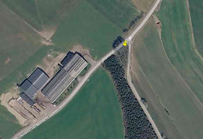
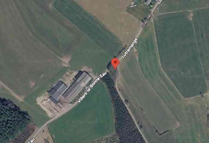
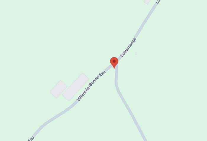
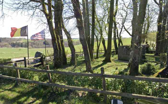
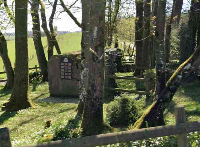
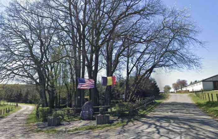
Villers la Bonne Eau. Fortifications belges de la deuxième guerre mondiale, première ligne de résistance, direction des travaux de fortification Liège/Luxembourg (DTF), position avancée de Lutremange, abri Lu1 de type PA modèle A, 461 m/alt, situé sous un bouquet d'arbres à l'angle nord d'une pépinière, à la jonction de la route communale de Lutremange à Villers La Bonne Eau et d'un chemin agricole longeant le bois mixte de feuillus et de conifères à l'est, à 60 m au nord-est d'une importante entreprise agricole. Il est érigé en mémorial et superbement entretenu. Belgische Befestigungen des Zweiten Weltkriegs, erste Widerstandslinie, Direktion der Befestigungsarbeiten Lüttich/Luxemburg (DTF), vorgeschobene Stellung von Lutremange, Unterstand Lu1 vom Typ PA Modell A, 461 M/ü M, gelegen unter einem Baumhain an der Nordecke einer Baumschule, an der Kreuzung der Gemeindestraße von Lutremange nach Villers La Bonne Eau und eines landwirtschaftlichen Weges, der im Osten den Mischwald aus Laub- und Nadelbäumen säumt, 60 m nordöstlich eines bedeutenden landwirtschaftlichen Betriebes. Er ist als Denkmal errichtet und hervorragend gepflegt. Belgische versterkingen uit de Tweede Wereldoorlog, eerste weerstandslijn, directie van de vestingswerken Luik/Luxemburg (DTF), vooruitgeschoven stelling van Lutremange, schuilkelder Lu1 van het type PA model A, 461 m/TAW, gelegen onder een boomgroep aan de noordhoek van een boomkwekerij, op de kruising van de gemeenteweg van Lutremange naar Villers La Bonne Eau en een landbouwpad dat ten oosten langs het gemengde bos van loof- en naaldbomen loopt, 60 m ten noordoosten van een belangrijk landbouwbedrijf. Het is opgericht als gedenkteken en uitstekend onderhouden. Belgian fortifications of the Second World War, first line of resistance, Fortification Works Directorate Liège/Luxembourg (DTF), advanced position of Lutremange, shelter Lu1 of type PA model A, 461 m/asl, located under a clump of trees at the north corner of a nursery, at the junction of the communal road from Lutremange to Villers La Bonne Eau and a farm track running alongside the mixed woodland of deciduous and coniferous trees to the east, 60 m north‑east of a large agricultural concern. It has been erected as a memorial and is superbly maintained. Belgické opevnění z druhé světové války, první linie odporu, ředitelství opevňovacích prací Lutych/Lucembursko (DTF), předsunuté postavení Lutremange, bunkr Lu1 typu PA model A, 461 m/n. m, nacházející se pod skupinou stromů na severním rohu školky, na křižovatce obecní silnice z Lutremange do Villers La Bonne Eau a zemědělské cesty vedoucí podél smíšeného lesa listnatých a jehličnatých stromů na východě, 60 m severovýchodně od významného zemědělského podniku. Je postaven jako památník a výborně udržován. JPu 13/07/2026
Cité dans : Zitiert in : Geciteerd in: Cited in: Citováno v: Lu2 (abri CR Livarchamps)
